Field notesBeskidyBarania Góra
Field note · Beskidy
Barania Góra at first light
12 August 202629.66 km664 m1:32 movingSolo MTB from Miłówka
Barania Góra is the high hinge of the Żywiec Beskids — the climb riders name when they want height before the day opens. This was an early August bash for first light: spruce corridors, mist in the folds, and the ridge opening under clear sky.
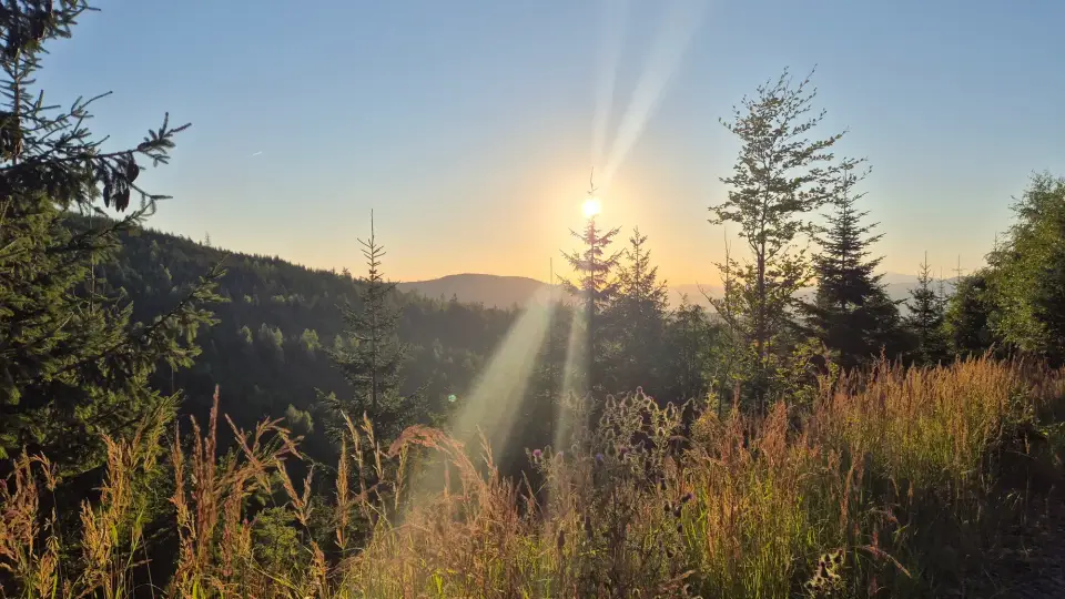
I left Miłówka around 05:22 on 12 August 2026 — cool enough for a long-sleeve start, dry, with the valley still holding blue shadow. The line ran toward Kamesznica and the hamlets under the climb, then up toward Barania with Złatna and Pod Baranią as named waypoints on the way. Strava recorded 29.66 km, 664 m of climbing, and 1:32:06 moving (activity).
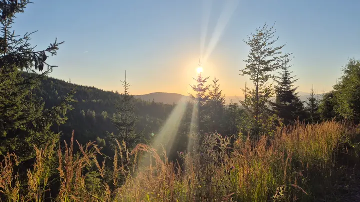
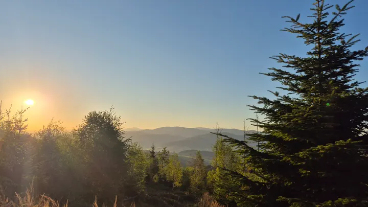
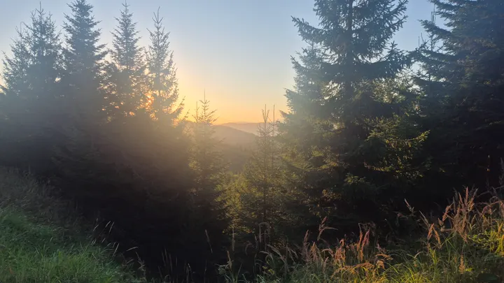
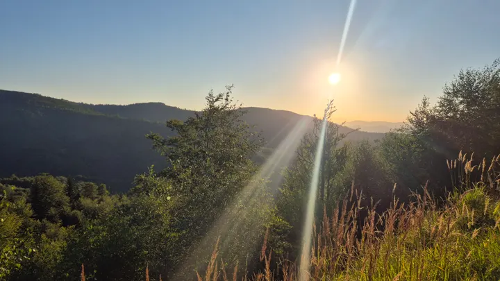
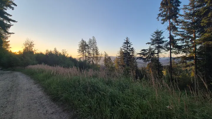
First light on this hill is less about a single summit selfie and more about what the spruce lets through. Beams cut the track; mist sat in the folds below; backlit grass and flare on the climb were part of the deal — some frames kept the glare, some did not. Close skyline names that earned a place in the notebook were Kobyła, Skałka, Żarek and Czumowa Grapa, with Barania itself as the destination mass.
Homeward the route dropped back toward Cisiec and the last kilometres into Miłówka. You do not need the full early bash to use the mountain — there is parking in the valley towns, and the same ridges work later in the day — but if you want that first-hour colour, an early start from Miłówka is the honest version of this ride.
Prints from this morning
Five frames from the ride. Open a print page, or jump from the map pins below.
Ride map
Early MTB from Miłówka via Kamesznica toward Barania Góra, home through Cisiec. Numbered pins mark where each print was made.
Map: OpenTopoMap (CC-BY-SA) · data © OpenStreetMap contributors, SRTM · Leaflet