Field notesBeskidyOstre
Field note · Beskidy
Garmin got me lost: Miłówka, Ostre & Malinowska Skała
31 August 202651.02 km938 m2:52 movingSolo road from Miłówka
The plan was Ostre country and a look toward Malinowska Skała. Early on, a forest trail simply dissolved — and the map shows the bike sitting off-route beneath Zielony Kopiec. The keepers hold both the meadow light and that wrong shelf.
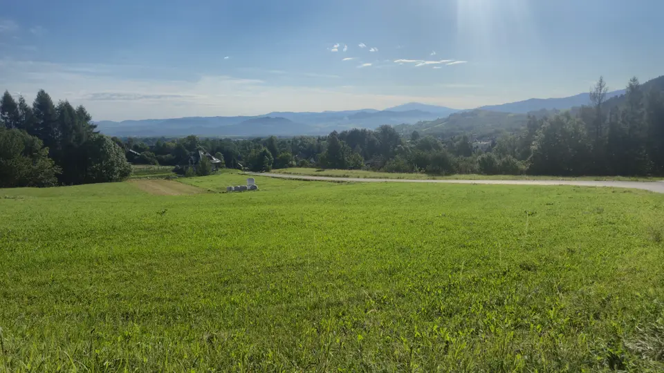
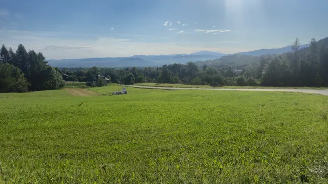
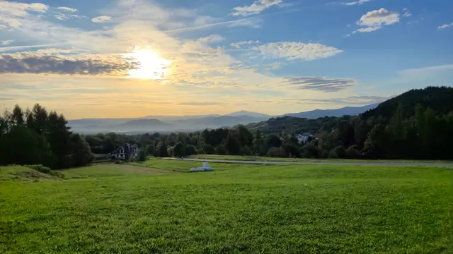
I left Miłówka on the morning of 31 August 2026 and rode out through Cisiec toward Ostre — the quiet village shelf above the valley, hay bales on the meadow track, a rounded forested peak under clear late-summer sky. The day was meant to climb the idea of Malinowska Skała: a named rock hinge in the Żywiec Beskids, close enough in the mind that the device should have been able to thread me there.
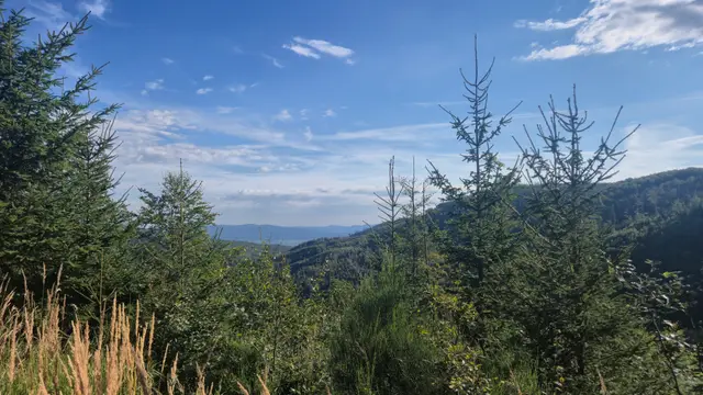
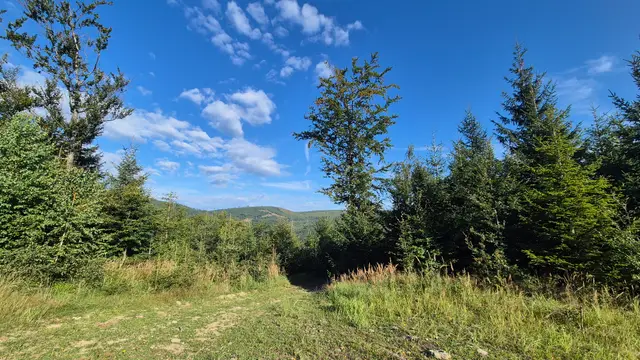
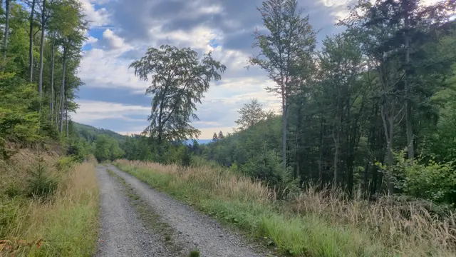
It did not. Early in the forest, the line Garmin wanted was barely a beginning — a short track that ran out into nothing. The map view is blunt about it: the bike sits off trail on the slope beneath Zielony Kopiec, with Gawlasi on the next hinge of the ridge, while the continuous path network carries on elsewhere. From that wrong shelf the spruce-framed ridges still look like a destination; they are just not the one you asked the device for. (Spruce-Framed Blue RidgesandForest Gap to the Ridgesare that moment.) Strava kept the score anyway — 51.02 km, 938 m, 2:52:06 moving (Garmin got me lost…).
What stayed in view, even from the wrong shelf, was the skyline cast: Zielony Kopiec overhead, Gawlasi close along the ridge, Magurka Wiślańska and Magurka Radziechowska as longer blue layers, Malinowska Skała as the aim that kept slipping, and Czumowa Grapa waiting toward home. Peaks do not care if your GPS is lying.
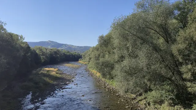
The loop eventually found civilisation again through Twardorzeczka toward Węgierska Górka and the last kilometres into Miłówka — including a high river span under cloudless blue that is not the fixed Miłówka bridge viewpoint, just another crossing on a day that refused to be tidy. Enjoy the photographs. Do not follow that GPX metre by metre.
Prints from this ride
Six frames from the loop — including the off-trail shelf under Zielony Kopiec. Open a print page, or jump from the map pins below.
Ride map
Road and forest loop from Miłówka toward Ostre — with wrong turns. Numbered pins mark where each print was made. Treat the GPX as a story, not a recipe.
Map: OpenTopoMap (CC-BY-SA) · data © OpenStreetMap contributors, SRTM · Leaflet