Field notesBeskidyGóra Żar
Field note · Beskidy
Road bike to Góra Żar via Żywiec & Czernichów
16 August 2026~77.5 km1,025 m2:57 movingSolo road ride from Miłówka
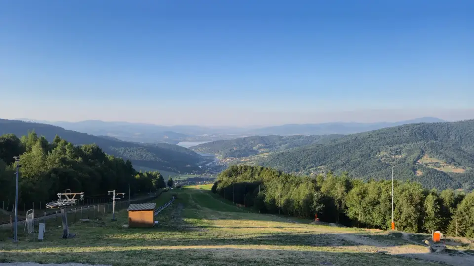
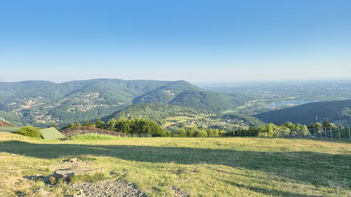
Góra Żar is a climb local riders aim for — road and mountain bike alike. From the top, north looks toward Bielsko-Biała; south drops back across Żywiec Lake with Grojec ridges and Kiczera in the near skyline. This was a mid-August morning loop through the Żywiec Beskids with a camera.
I left Miłówka at about 05:30 on 16 August 2026. Dry and cool at the start, warming as the day opened, with a headwind on the way home. The first stretch through Cisiec and Cięcina was still before the sun cleared the local ridges, so early frames sat in long shadow — some of those shots never quite worked.
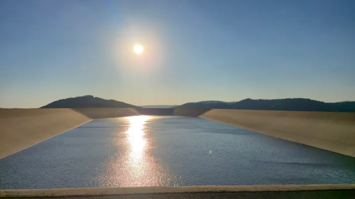
The loop ran the valley corridor toward Czernichów and Międzybrodzie Żywieckie, past Tresna, then up Żar. Strava recorded about 77.5 km, 1,025 m of climbing, and just under three hours moving (about 3:42 elapsed with photo stops). The defined Żar climb segment runs roughly 7.9 km for about 445 m at 5.7% — a proper dig, then a fast descent. Homeward the road threaded Żywiec, then Wieprz, Radziechowy and Przybędza before Węgierska Górka and the last kilometres into Miłówka.
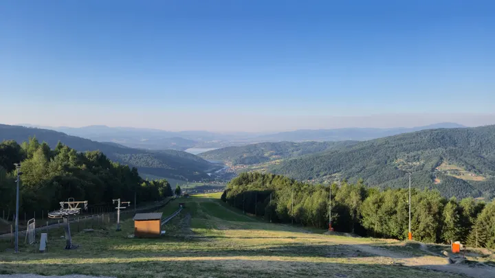
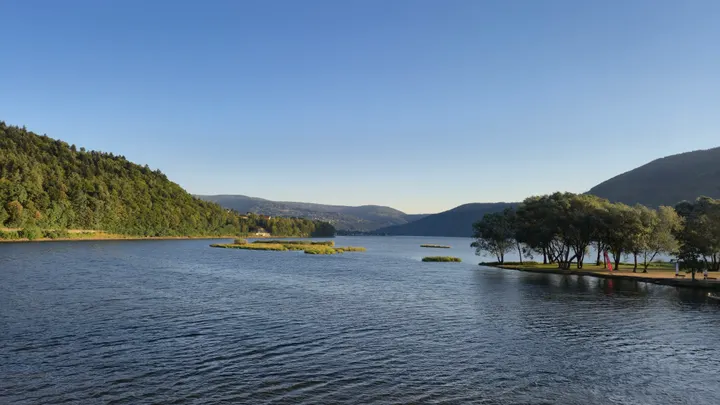
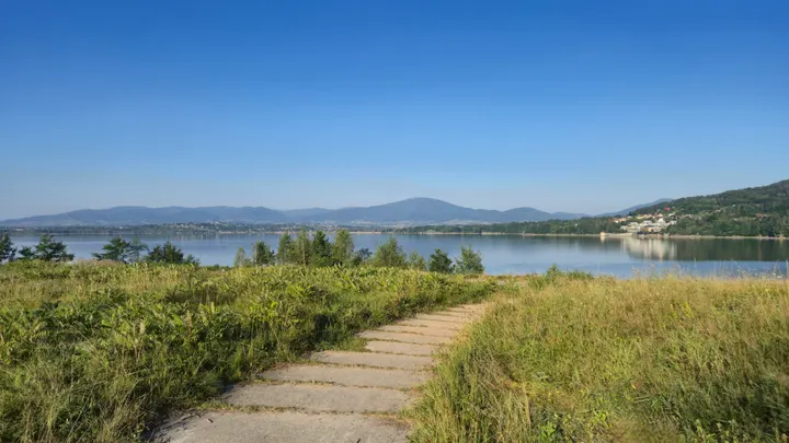
What I like most is looking back down to the lake I had already ridden past lower on the route. From the summit the water sits in the valley with Mały Grojec and the wider Grojec / Grapa skyline giving the climb its shape. The smaller lakes and shores around Czernichów are easy to miss unless you are moving through on a bike with a camera — that is how I found them.
You do not have to ride the full loop. There is free parking in Miłówka if you want to retrace this line, and plenty of other start points with parking closer to Żar. Walkers and riders both use the hill; PKL also runs a kolej linowo-terenowa(incline railway) to the summit, withlive camerasand a bike-park side to the mountain. Climb under your own steam, or take the railway — either way the viewpoints are the point.
Prints from this morning
Five frames from the ride. Open a print page, or jump from the map pins below.
Ride map
Loop from Miłówka via Cisiec, Cięcina, Czernichów and Międzybrodzie Żywieckie to Góra Żar, home through Żywiec and Węgierska Górka. Numbered pins mark where each print was made.
Map: OpenTopoMap (CC-BY-SA) · data © OpenStreetMap contributors, SRTM · Leaflet